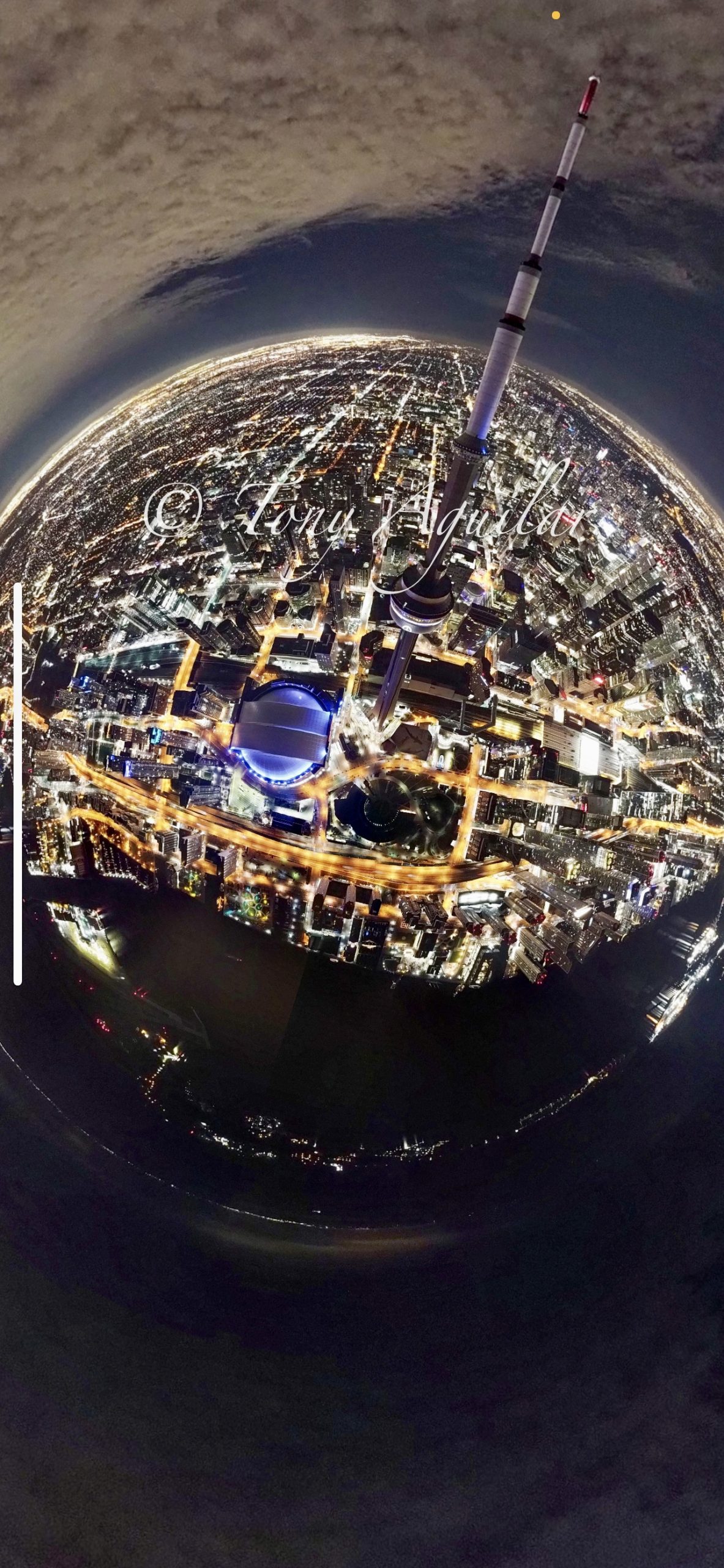
A New Lens on Adventure
Imagine standing at the trailhead of a rugged mountain path, your heart racing with excitement for the journey ahead. The trail promises breathtaking views and thrilling challenges, but also holds unknowns—cliffs, hidden ravines, or sudden weather changes. Now, picture having a tool that lets you see the entire route before you take a single step, revealing potential dangers and guiding your way. This isn’t a fantasy; it’s the power of drone photography. Drones are transforming outdoor adventures by capturing stunning aerial shots and becoming essential safety companions for hikers, mountain bikers, and nature enthusiasts. In this post, we’ll explore how drone photography can elevate your safety planning, turning your next outing into a safer, more innovative experience. Let’s take flight and discover how this technology is changing the game.
Drones as your Safety Wingman
Scouting the Unseen: Trail Reconnaissance from Above
One of the most powerful ways drones enhance safety is by allowing you to scout trails before lacing up your boots. With a drone, you can capture a bird’s-eye view of your route, identifying hazards that might be invisible from the ground. Steep drop-offs, unstable rock formations, or overgrown sections of trail can be spotted in advance, allowing you to adjust your plans or prepare accordingly. For mountain bikers, drones can reveal sharp turns, technical descents, or obstacles like fallen trees, helping you gauge the trail’s difficulty and decide if it matches your skill level.
Take, for example, a hiker planning to traverse a remote section of the Appalachian Trail. By flying a drone over the area, they might discover a washed-out bridge or a section of trail eroded by recent rains—information that could prevent a dangerous situation. This kind of reconnaissance is especially valuable in areas with limited cell service or outdated maps, where real-time data is scarce.
Mapping Your Adventure: Precision Planning with Aerial Data
Drones don’t just offer a quick look; they can create detailed maps that serve as a lifeline in the wilderness. Using photogrammetry software, you can stitch together drone images to form a high-resolution map or even a 3D terrain model. These maps provide precise information about elevation changes, water sources, and potential campsites, making navigation more straightforward and more reliable.
For instance, a group of backpackers heading into the Sierra Nevada might use a drone-generated map to identify the safest river crossings or the best spots to set up camp away from flood zones. In emergencies, these maps can be shared with rescue teams, giving them exact coordinates and a visual area layout, which can drastically reduce response times. As noted by outdoor safety experts, having accurate, up-to-date maps is one of the most effective ways to prevent accidents and ensure a successful trip.
Emergency Response: Drones as First Responders
Drones can be invaluable in the unfortunate event of an accident or a lost companion. Equipped with thermal imaging cameras, drones can scan large areas quickly, detecting body heat even in dense forests or low-light conditions. This capability is a game-changer for search and rescue operations, where time is critical. A drone can cover miles of trail in minutes, providing real-time feedback to rescuers and increasing the chances of a swift recovery.
Consider a scenario where a mountain biker takes a wrong turn and ends up injured off-trail. A drone, launched from the trailhead, can follow their last known path, using thermal imaging to locate them even if they’re hidden by vegetation. This technology has already been used in real-world rescues, with organizations like the National Park Service incorporating drones into their emergency response protocols.
Best Practices: Flying Responsibly for Safety
While drones offer incredible benefits, they must be used responsibly to ensure safety and respect for nature. First, always check local regulations—many national parks and wilderness areas have strict rules about drone use, often requiring permits or banning them outright to protect wildlife and visitor privacy. For example, in the U.S., the National Park Service prohibits drone flights in most parks to preserve the natural soundscape and prevent disturbances.
Ethically, it’s crucial to fly drones in a way that doesn’t disrupt others’ experiences or harm the environment. Avoid flying over crowded trails or near wildlife, and always maintain a safe distance from people and animals. Additionally, ensure your drone is in good working condition—check batteries, propellers, and software updates before each flight to prevent mid-air failures that could endanger you or others.
For optimal safety planning, fly your drone during calm weather, as strong winds can destabilize the aircraft and compromise image quality. Plan your flight path in advance, using apps like DJI Fly or Google Earth to map out the area, and always keep the drone within visual line of sight, as required by most aviation authorities.
Soaring towards Safer Adventures
Drone photography is more than a tool for capturing epic shots—it’s a revolutionary way to enhance safety in the great outdoors. By scouting trails, creating detailed maps, and providing rapid response in emergencies, drones empower adventurers to explore confidently. As you plan your next hike or mountain bike ride, consider how a drone could be your ultimate safety companion, offering insights that keep you one step ahead of the unexpected.
But remember, with great power comes great responsibility. Use drones ethically, respect regulations, and prioritize your own safety and that of others. The wilderness is a place of wonder and challenge—let’s embrace technology to make it safer without losing the thrill of discovery. So, before you hit the trail, take a moment to look up. With a drone by your side, you’re not just capturing the journey but safeguarding it. Adventure awaits—let’s make it a safe one.