The future of Drone Mapping
A New Perspective from Above
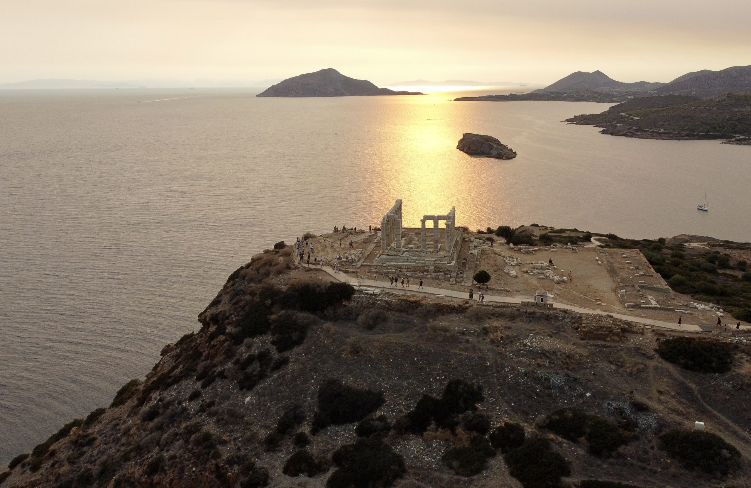
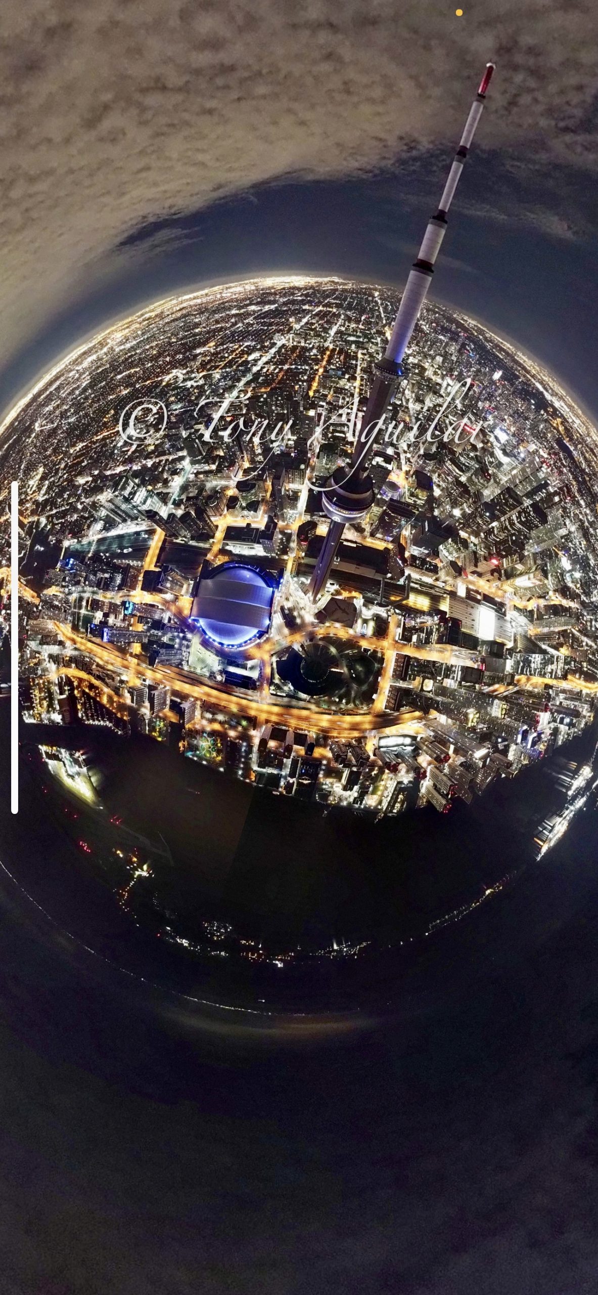
Imagine standing on the edge of a sprawling city, lights twinkling below as the sun dips beneath the horizon. Now, picture capturing that entire scene—not just as a memory, but as a detailed, actionable map that can guide urban planners, conservationists, or even adventurers. This isn’t science fiction; it’s the reality of drone mapping, a technology revolutionizing how we see and interact with the world. Once a novelty for hobbyists, drones have evolved into powerful tools for creating precise geospatial data, offering perspectives that were once reserved for satellites or expensive aerial surveys. In this blog post, we’ll dive into the fascinating world of drone mapping, exploring how it works, its transformative applications, and why it’s becoming an indispensable tool for industries worldwide. Whether you’re a beginner curious about aerial mapping or a professional looking to enhance your projects, this guide will show you why drone mapping is the future—and how you can be part of it.
The Heart of Drone Mapping
What Is Drone Mapping, and How Does It Work?
At its core, drone mapping is the process of using unmanned aerial vehicles (UAVs) to capture images and data from above, which are then transformed into detailed maps, 3D models, or digital elevation models (DEMs). The magic begins with a drone equipped with a high-resolution camera and often additional sensors like GPS or LiDAR. As the drone flies over a designated area, it takes hundreds or even thousands of overlapping images, a process frequently guided by flight planning software that ensures comprehensive coverage.
Once the images are captured, they’re processed using photogrammetry software. These tools stitch the images together, using overlapping data points to create a cohesive map or model. The result? A detailed orthomosaic (a 2D map), a 3D model of the terrain, or a digital elevation model that shows changes in altitude. Ground control points (GCPs)—physical markers with known coordinates—can be used to enhance accuracy, ensuring the map aligns perfectly with real-world coordinates.
The process might sound complex, but technological advancements have made it accessible even to beginners. A small drone like the DJI Mavic 2 Enterprise, which is often used for mapping, can cover a modest area in under an hour. In contrast, larger drones like the eBee X can precisely map vast expanses, as noted in resources from AgEagle Aerial Systems. The key is preparation: defining your goals, selecting the right drone, and planning your flight path to match the needs of your project.
Applications That Are Changing the Game
Drone mapping isn’t just about creating pretty pictures—it’s a game-changer across industries. Let’s explore some of the most impactful applications.
In agriculture, drones are helping farmers monitor crops with unprecedented detail. Farmers can identify stress areas by mapping fields, tracking plant health through multispectral imaging, and optimizing irrigation. A study highlighted by AgEagle Aerial Systems showed that using the eBee X drone reduced sugarcane damage costs by 39% through precise monitoring and targeted interventions. This precision agriculture approach boosts yields and promotes sustainability by minimizing resource waste.
Construction and real estate are also reaping the benefits. Developers use drone maps to survey land before breaking ground, track progress during construction, and create stunning marketing visuals. As mentioned in a Hiscox Business Blog post, Paul Moore of Smith Mountain Homes used drone footage to build “the best lakefront realty website in America,” showcasing properties in a way that traditional photography couldn’t. Drone maps provide accurate measurements, helping contractors avoid costly errors, while 3D models give clients a virtual tour of a site before it’s even built.
For environmental conservation, drone mapping is a lifeline. Conservationists use drones to monitor deforestation, track wildlife populations, and combat invasive species. The eBee X drone, paired with tools like PIX4D, has been instrumental in mapping invasive plants, allowing for targeted removal efforts. These maps provide a level of detail that ground surveys can’t match, enabling faster, more effective responses to environmental challenges.
Drone mapping offers critical insights into urban planning and disaster response. Cities use drone-generated 3D models to plan infrastructure projects, while emergency responders rely on real-time maps to assess damage after natural disasters like hurricanes or earthquakes. The ability to quickly map a disaster zone can mean the difference between life and death, guiding rescue teams to where they’re needed most.
Getting Started: What You Need to Know
If you’re intrigued by drone mapping, starting is easier than you might think—but it does require some know-how. First, choose the right drone for your needs. A consumer-grade drone like the DJI Mini 4 Pro can handle small—to medium-sized mapping projects.
Next, invest in flight planning software. Tools like DroneDeploy or Pix4D allow you to set your flight path, adjust altitude, and ensure proper image overlap—typically 70-80% for accurate stitching. Altitude matters: Flying too low might miss details, while flying too high can reduce resolution. A good rule of thumb is to fly at 200-400 feet, depending on your project’s requirements.
Safety is non-negotiable. Before flying, check local regulations—commercial drone use often requires permission from aviation authorities, like the UK Civil Aviation Authority. Inspect your area for hazards, calculate risk factors, and always fly within visual line of sight. If you’re using ground control points, place them strategically and measure their coordinates with a GPS device for maximum accuracy.
Finally, process your data with photogrammetry software. This step can take a few hours, depending on the size of your project, but the results are worth it. You’ll end up with a map or model that’s visually stunning and packed with actionable data.
Challenges and the Future of Drone Mapping
Like any technology, drone mapping has its challenges. Weather can be a significant obstacle—strong winds or rain can ground your drone, while poor lighting affects image quality. Battery life is another limitation; most drones can only fly for 20-30 minutes, requiring multiple flights for large areas. Regulatory hurdles also persist, as airspace restrictions vary by country and can complicate commercial operations.
But the future is bright. Advances in battery technology are extending flight times, while AI-powered software makes data processing faster and more accurate. Drones with LiDAR are becoming more affordable, enabling even more detailed 3D mapping. As regulations evolve, we can expect wider adoption across industries, from archaeology to mining, where drones already uncover hidden histories and optimize operations.
Soaring into Tomorrow
Drone mapping is more than a technological trend—it’s a revolution that’s redefining how we understand and interact with our world. From the farmer ensuring a bountiful harvest to the urban planner designing the cities of tomorrow, drones are empowering us to see the bigger picture, literally and figuratively. The ability to map vast areas with precision, monitor changes in real-time, and create actionable insights is transforming industries and solving problems we once thought insurmountable.
As you’ve learned, getting started with drone mapping is within reach, whether you’re a hobbyist with a small drone or a professional tackling large-scale projects. The key is to start small, plan carefully, and embrace the learning curve. The rewards are immense: not only will you create stunning maps and models, but you’ll also contribute to a future where data drives smarter decisions.
So, what’s next? If you’re ready to take flight, grab a drone, plan your first mapping mission, and see the world from a new perspective. Share your experiences, ask questions, or connect with the growing community of drone mappers. Your journey is just beginning. As GTA Drone Mapping would say, “Map It, Snap It, Drone It!” Let’s soar into the future together..